Keynote Speakers
As a student-led effort, Geomundus will feature a broad landscape of expertise and areas of action within the GIS field, such as academic figures, NGO advisors, government officials, and private sector actors. We understand that climate action seen through a GIS lens requires a wide array of perspectives that enrich discussions and ignite our curiosity. These insights will ultimately become the foundations of our professional practice. Information about the keynote speakers and the keynote topics will be updated soon!
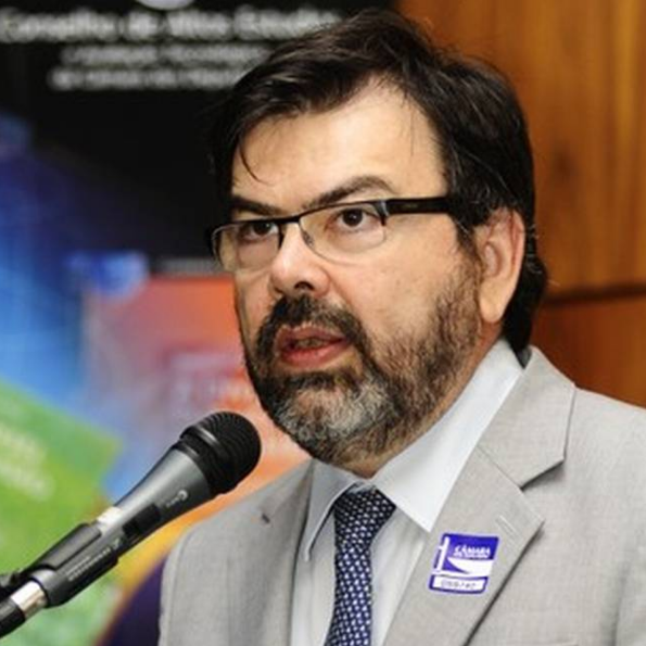
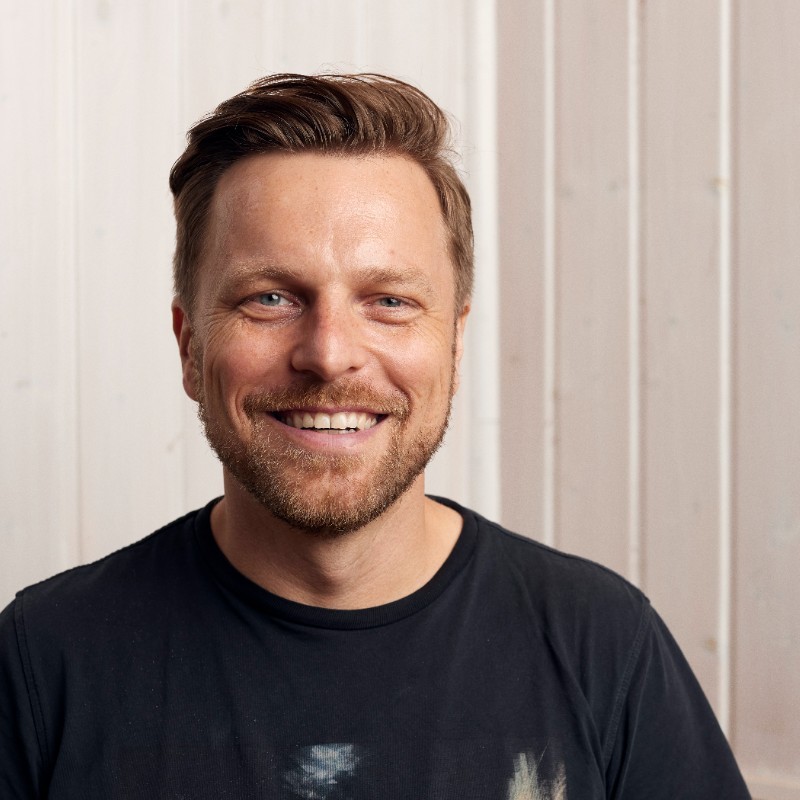
PROF. DR. GILBERTO CAMARA
Prof. Dr. Gilberto Câmara is a Brazilian researcher in Geoinformatics, GIScience, Spatial Analysis, and Land Use Modelling, who works at Brazil's National Institute for Space Research (INPE). He is internationally recognized for promoting free access for geospatial data and for setting up an efficient satellite monitoring of the Brazilian Amazon rainforest. After retiring from INPE in June 2016 after 35 years of work, he continues to conduct R&D activities at INPE as a Senior Research Fellow.
KEYNOTE:
“Open Source Geospatial Software: The first 40 years and beyond”
The launch of GRASS GIS in 1984 marked the beginning of open-source geospatial software. After four decades, this talk highlights major progress in the field and provides a vision of upcoming trends. FOSS4G developers need to find a middle ground between standardisation and innovation. Whether de facto or de jure, standards establish a solid foundation for shared use and collaboration. Solid theory serves as the basis for successful standards. OGC’s Simple Features, using DE-9IM, has influenced the success of PostGIS, sf in R, and GeoPandas in Python. The backbone of GDAL includes standards like GeoTIFF and JPEG 2000. Thanks to these standards, commercial and institutional users have widely adopted tools like PostGIS, GDAL, and R-sf.
As a result of this virtuous cycle, vector-based FOSS4G is now in stasis. On the other hand, raster-based GIS is overflowing with innovation. Petabytes of open Earth observation (EO) data are now available. The exploration of space-borne sensors leads to significant innovation. However, no established theory exists for modelling and analysing big EO data. This situation has led to largely incompatible developments, including GeoPandas, Open Data Cube, OpenEO, and R-sits. Collaboration is necessary among developers of FOSS for big EO data analytics to avoid a winner-takes-all competition. This talk will conclude with an example of cooperation between the OpenEO and R-sits systems.
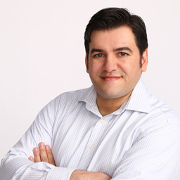
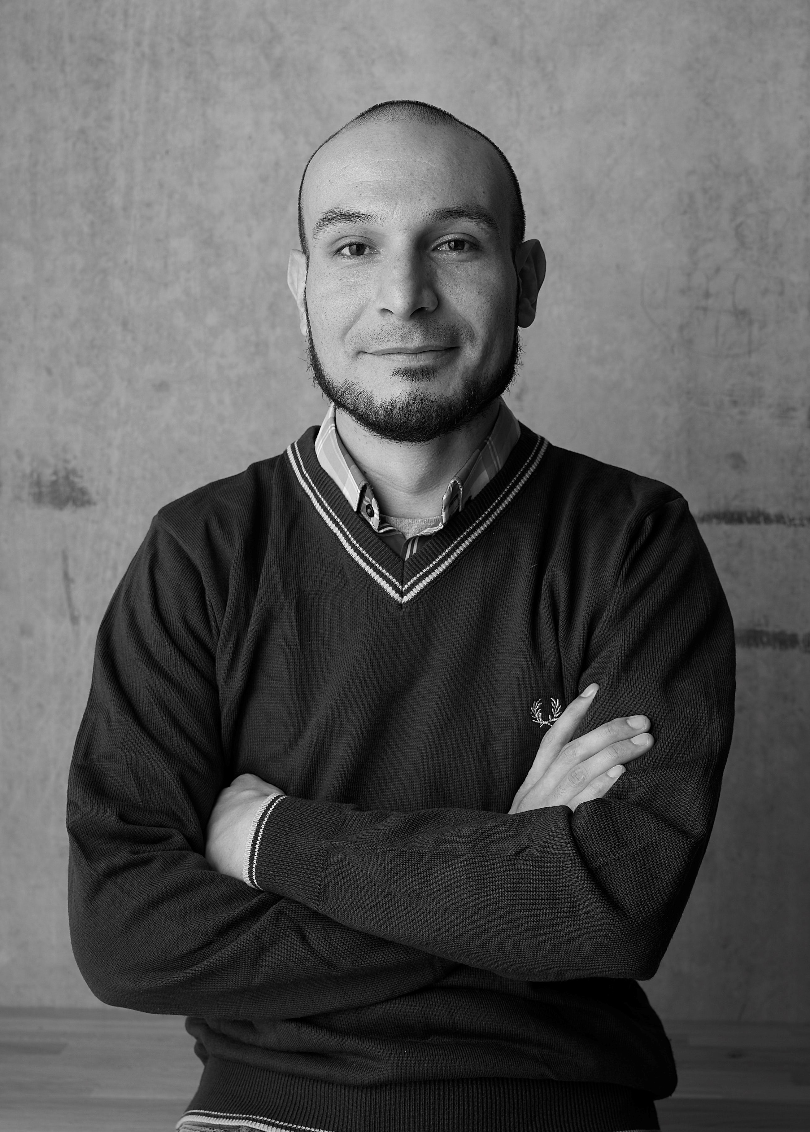
PABLO VIEJO
Pablo Viejo is an experienced digital solutions developer within the information technologies industry. His work extends to domains such as Sustainable Development, Sustainable Cities, with consistent track record on innovation and entrepreneurship. A skilled programer, with strong specialisation on geo-spatial technologies, 3D, modelling and simulation of complex systems. He is part of the Young Leaders of the World Cities Summit.
KEYNOTE:
"The Future of AI-GIS: Challenges and Opportunities"
AI is rapidly transforming Geographic Information Systems (GIS), offering new ways to automate data processing, enhance spatial analysis, and create dynamic visualizations. This integration holds immense potential, enabling faster and more accurate decision-making across sectors like urban planning and disaster management.
However, challenges such as data quality, ethical concerns around privacy, and the expertise gap in AI-related skills must be addressed. Additionally, the computational demands of AI models pose significant barriers. Despite these obstacles, the future of AI in GIS promises to revolutionize how we interact with geospatial data, unlocking new opportunities for innovation.
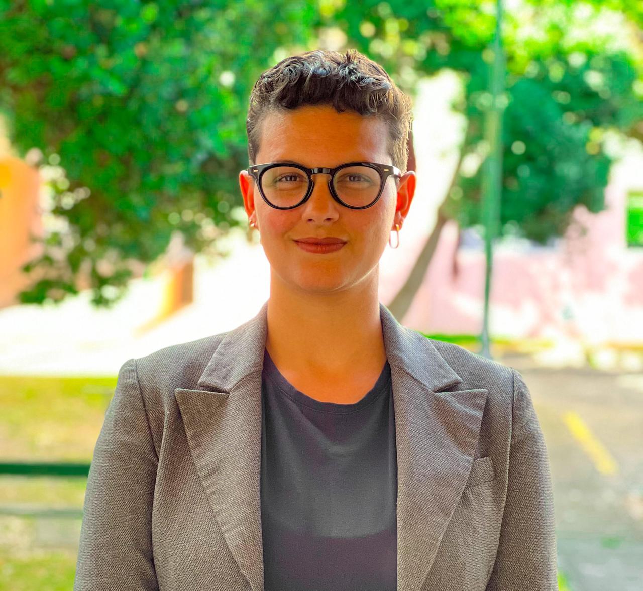
RAFAELA TIENGO
Rafaela Tiengo is a Brazilian geographer specializing in remote sensing. She earned an MSc in Remote Sensing for Volcanology from the University of the Azores, where she developed expertise in using geospatial technologies and SAR data for volcanic scenarios in islands. She is currently pursuing a PhD in Engineering and Management of the Natural Environment at the Polytechnic University of Madrid. Her research focuses on detecting land use and land cover changes in small oceanic islands, employing remote sensing techniques to assess environmental impacts and inform conservation efforts.
KEYNOTE:
"Monitoring Conservation Projects: Integrating Google Earth Engine, Google Colab and Python"
The use of advanced technologies, particularly Google Earth Engine, Google Colab, and Python, offers significant potential for monitoring and analyzing land cover changes in conservation projects. Focusing on São Miguel Island in the Azores, it discusses the application of these tools to identify the impacts and successes of conservation interventions.
The talk will demonstrate how the integration of remote sensing data enhances near-real-time monitoring capabilities, providing valuable insights into the land cover impacts and intervention outcomes of projects supported by the LIFE Nature Programme.
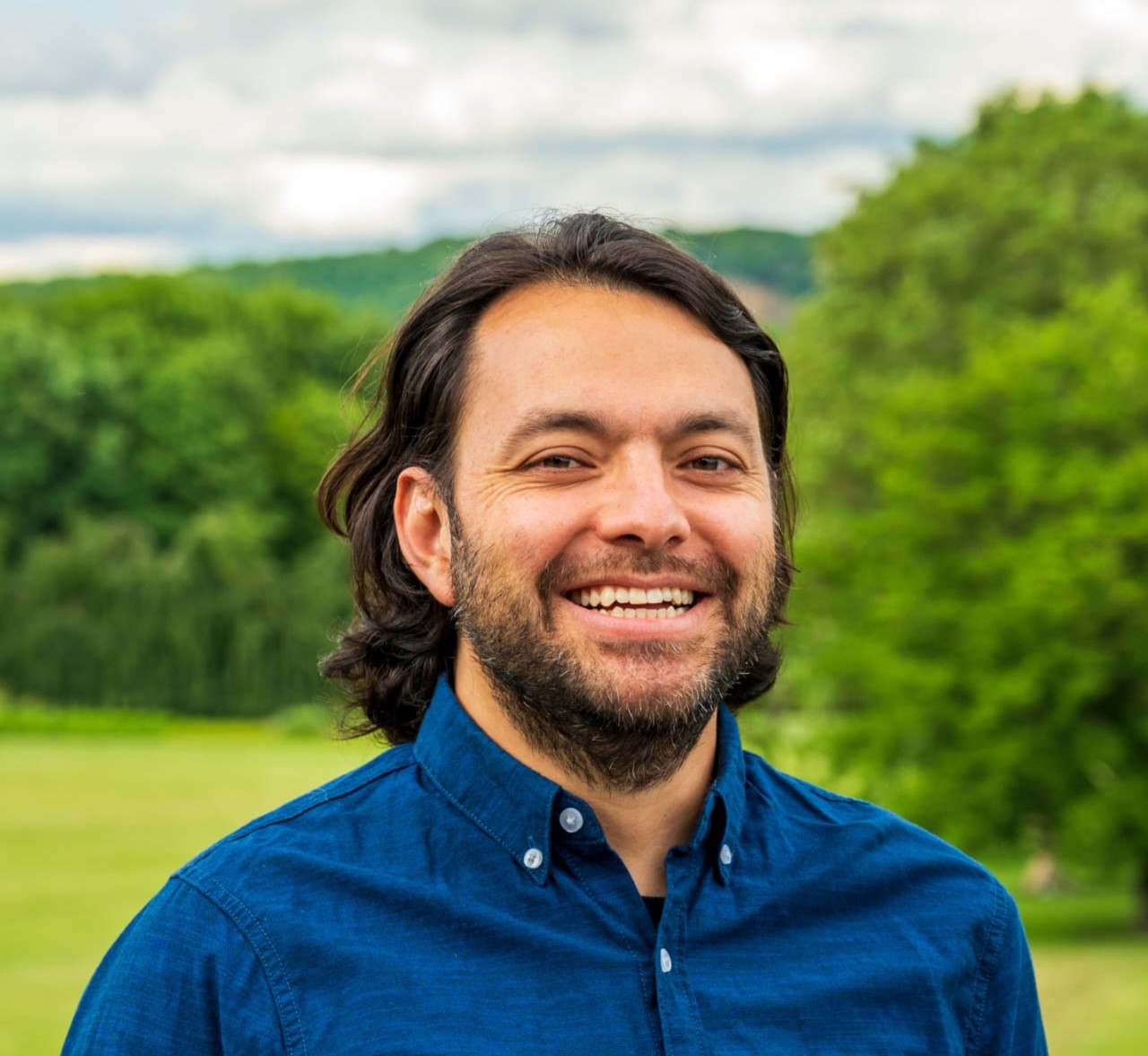
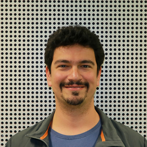
ANDRES FELIPE RAMIREZ
Andres Felipe Ramirez is a Geospatial Information Manager with over 10 years of experience in international non-profits, currently bringing expertise to the German Agency for International Cooperation (GIZ). He has dedicated much of his career to integrate geospatial technologies into organizational operations. Deeply passionate about Remote Sensing and Automated GIS, and leveraging these technologies to turn raw data into rich, spatial insights going beyond traditional Excel sheets. Proficient in advanced geospatial processing with tools like Esri, QGIS, Earth Engine, and R, he is a strong strategist in raising awareness and designing and deploying sustainable geospatial systems.
KEYNOTE:
"Geospatial Technologies in the context of International Organizations, NGOs, and Development Cooperation"
International organizations, NGOs, and Development Cooperation frameworks are important allies for countries challenging political or social environments. Local governments depend on these organizations for financial support and policy validation, while the commodity industry relies on NGO certifications to validate their sustainability claims. This dual role scenario presents a unique challenge: a high demand along with the need for a fast response.Geospatial Technologies play a key role in the technological landscape of organizations adopting a data-driven decision-making approach. Their impact spans a wide range of activities, including project planning, monitoring and evaluation, impact assessment, and compliance checks, proving a cost-effective tool.
This session will provide an overview of how geospatial technologies enhance decision-making, policy development, and project implementation across diverse global contexts. Participants will gain insights into practical applications of geospatial data and tools in addressing humanitarian crises, sustainable development, and managing resources effectively. Additionally, current trends, challenges, and future opportunities in this dynamic field, particularly within this specific context, will be discussed.